
About the course
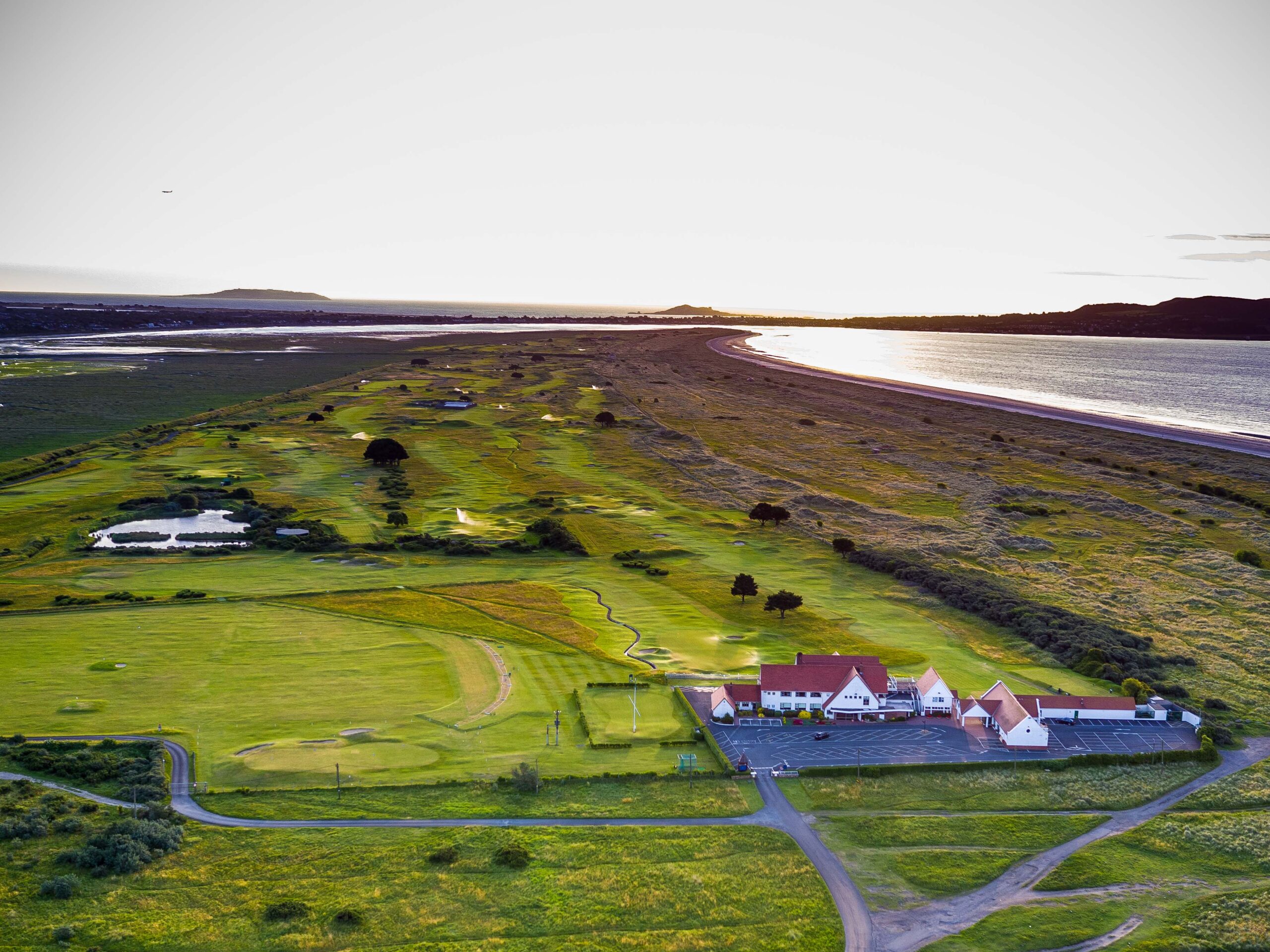
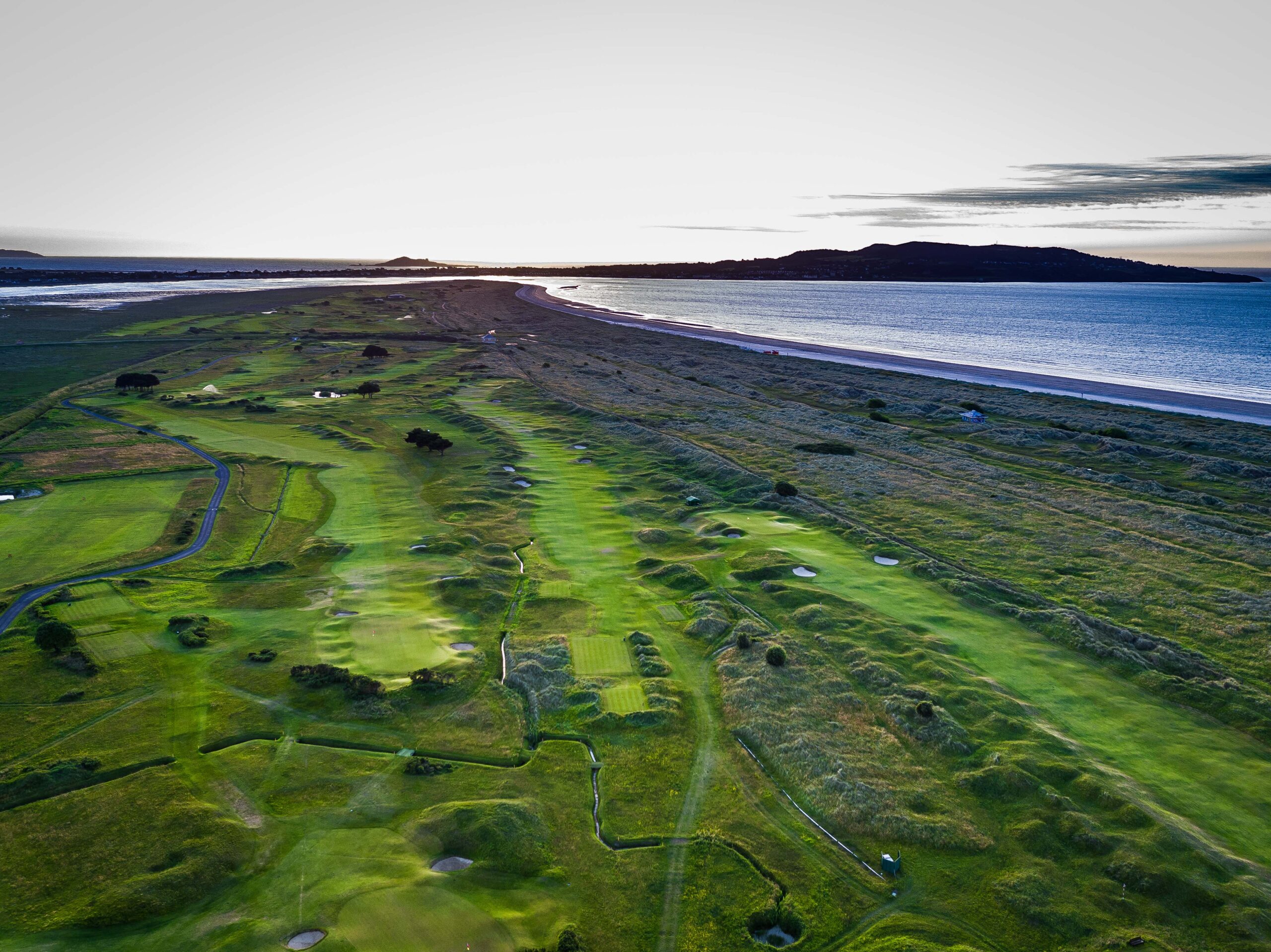
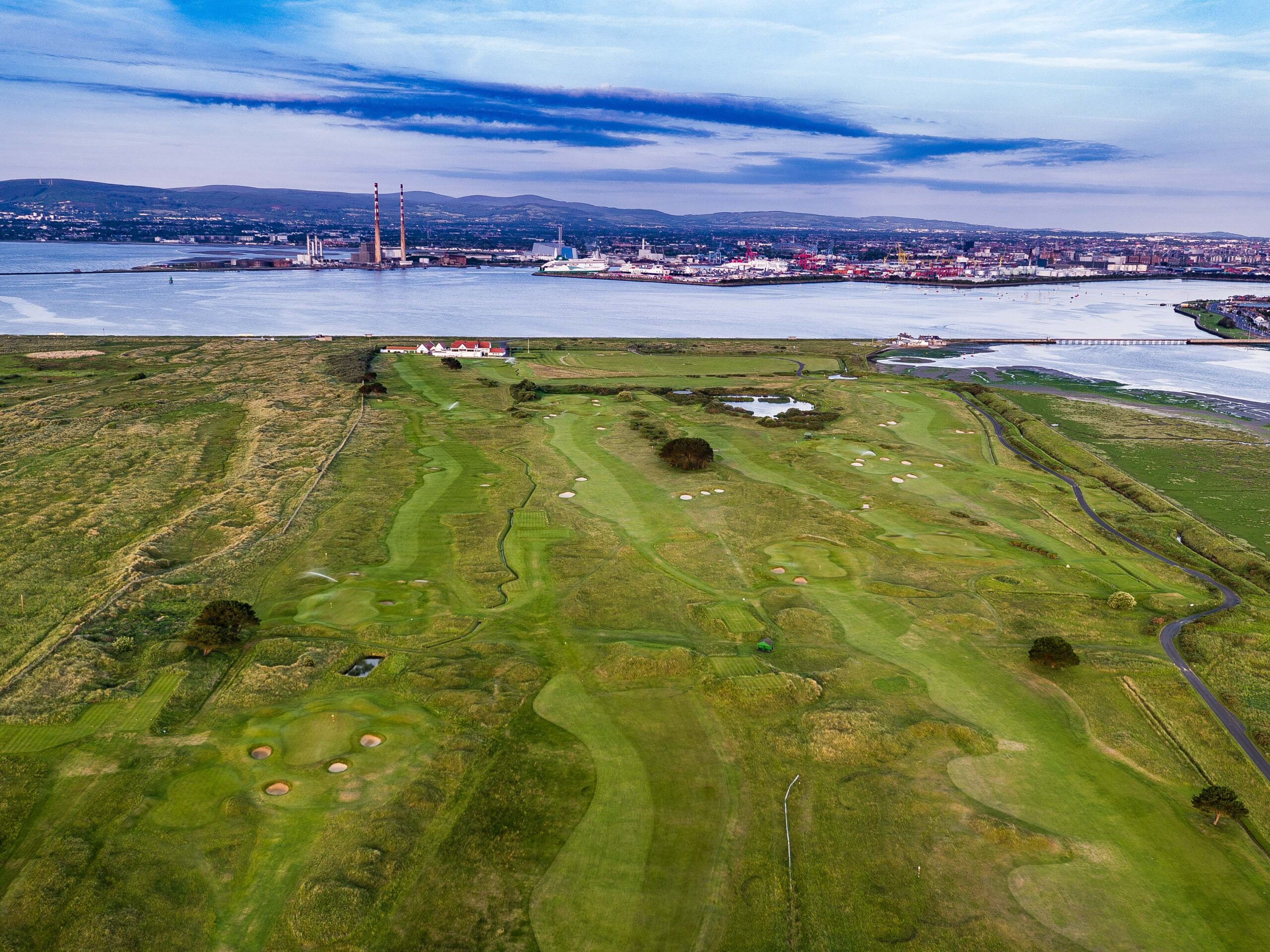
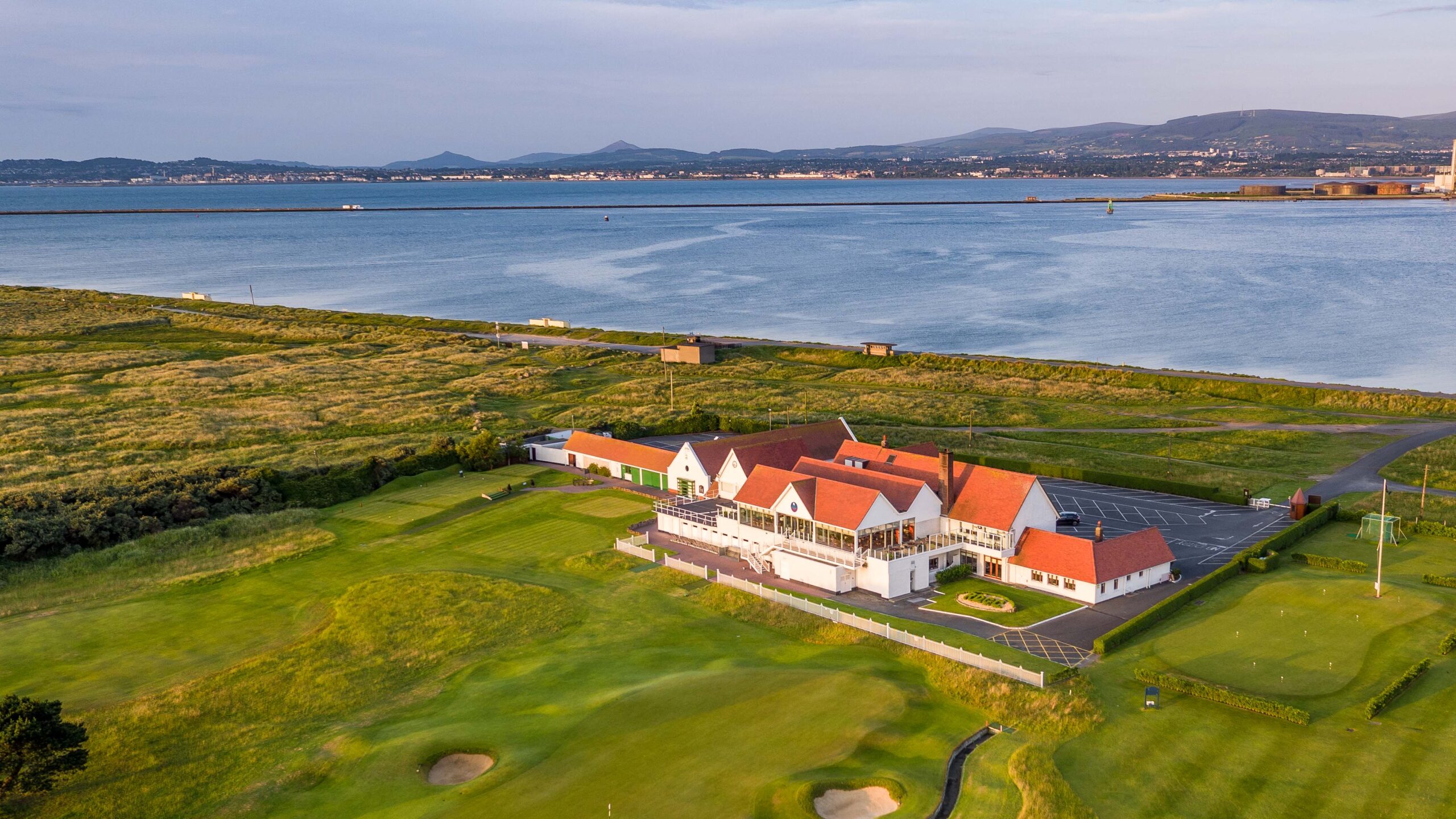
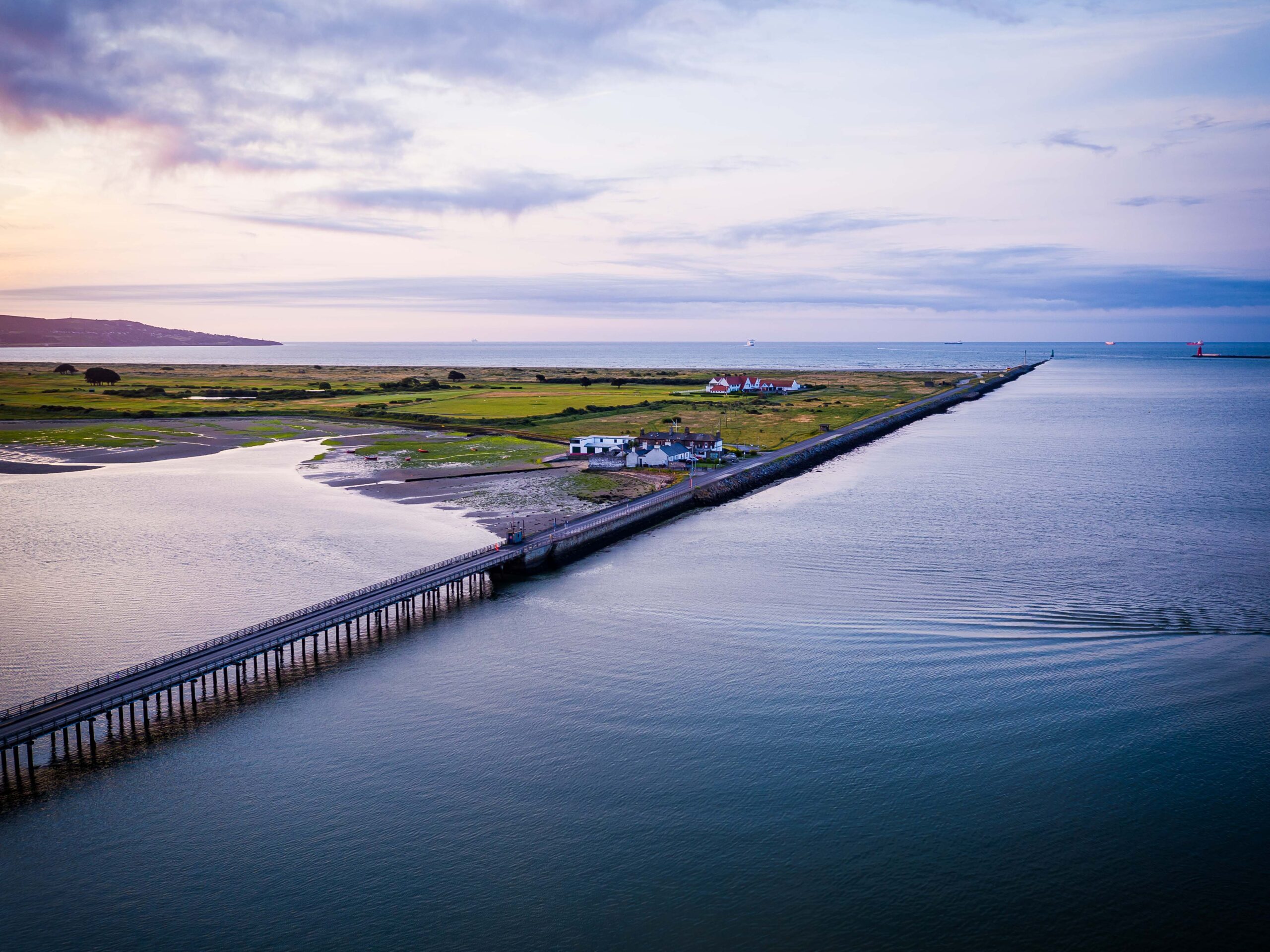
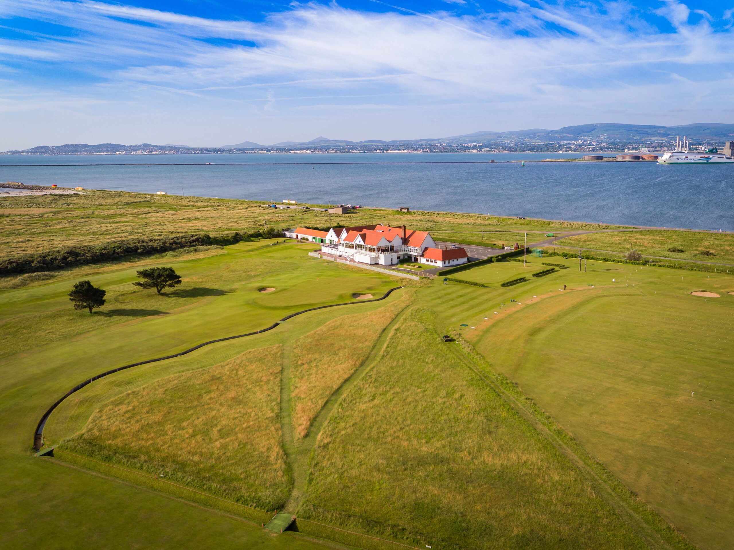
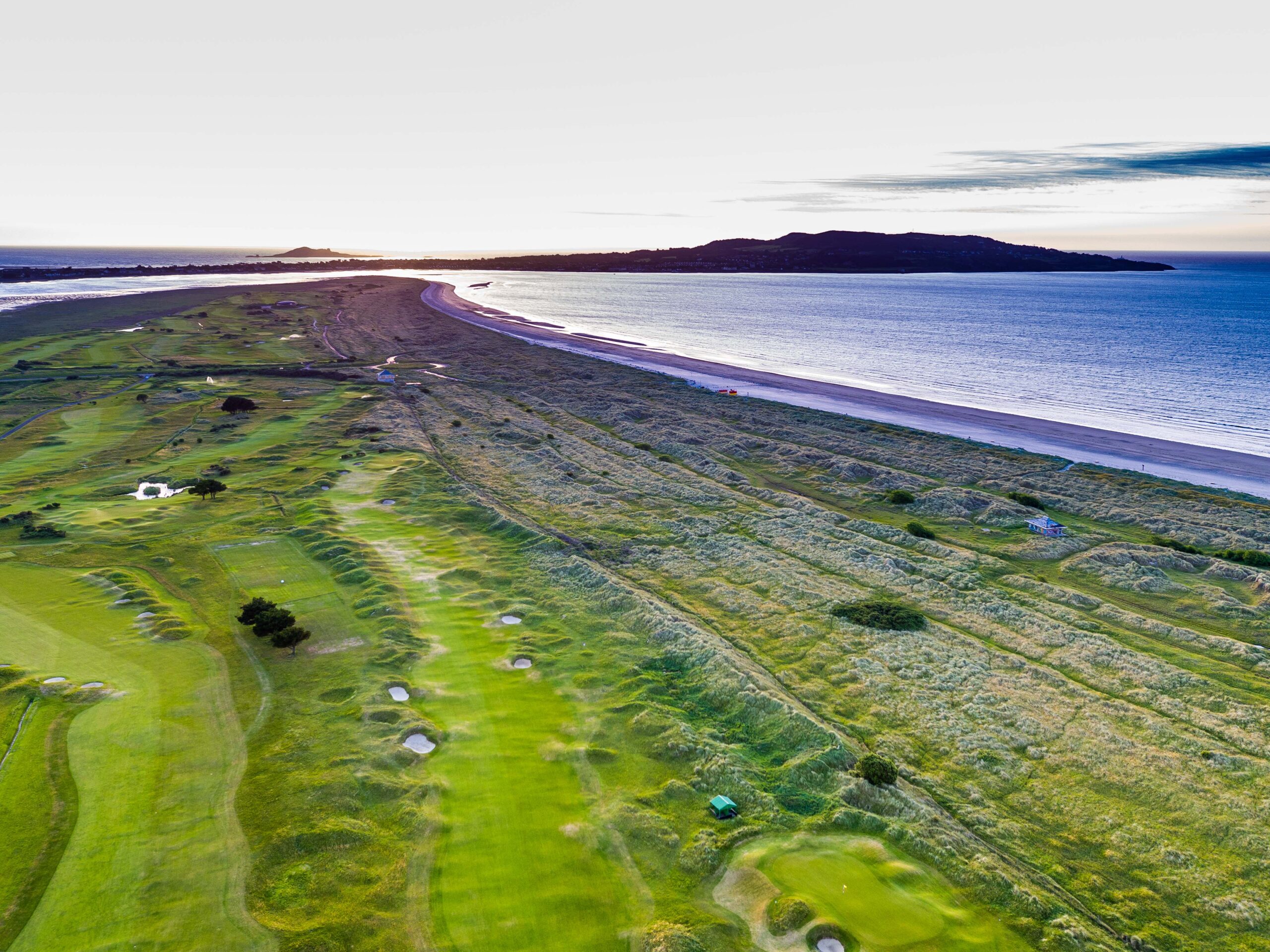
Royal Dublin occupies part of Bull Island, a strip of sand and dunes in Dublin Bay that formed after the Bull Wall was built in the early nineteenth century to protect the port. The island is now a UNESCO biosphere reserve, rich in birdlife, and the links shares it with its neighbour St Anne’s, with views back across the bay to the city and the Dublin Mountains.
Founded in 1885, the club is the second oldest in Ireland and moved to Bull Island in 1889. The links was used by the military during the First World War, and Harry Colt redesigned it in 1920, shaping much of the course played today. Martin Hawtree has since modernised it, and a recent bunker renovation has sharpened the strategy. Of the club’s several Irish Opens, the three in the 1980s were won by Seve Ballesteros twice and Bernhard Langer once.
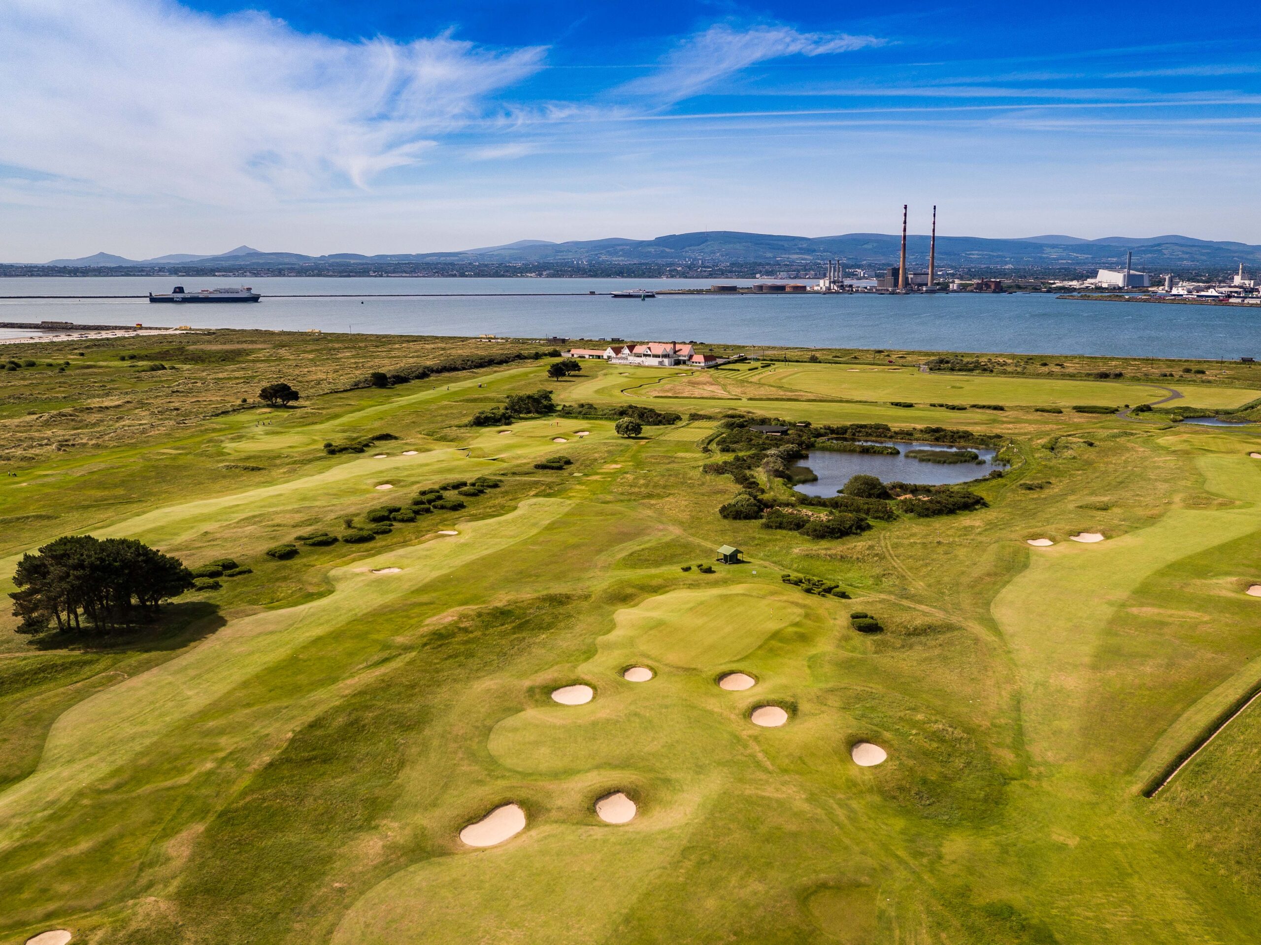
The routing is a classic out and back, with the front nine heading away from the clubhouse along the island and the back nine returning towards it, so the wind is rarely the same for long. The ground is flat, so the challenge comes from the subtle movement of the fairways, strategic bunkering and greens exposed to every breeze off the bay.
Each hole asks you to pick a side, and the right one depends on the hole location and the wind. The finishing par 4 is a dogleg with out of bounds tight to the right, a nervy close to a card that is still going well.
Why we recommend it
Royal Dublin is the most convenient championship links for a city break, set on Bull Island only a few kilometres from the centre of Dublin. Harry Colt shaped the course, which hosted the Irish Open three years running in the 1980s and was home to Christy O’Connor Senior for decades. The layout is flat and subtle rather than dramatic, and the wind off Dublin Bay sets the challenge. It pairs well with Portmarnock and The Island on the north side of the city.
Photo gallery










Video
| Ranking Ireland | 23 |
| Architect | Harry Colt |
| Year of foundation | 1885 |
| Par Course | 72 |
| Number of holes | 18 |